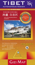
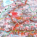
Wegenkaart - landkaart 5 (Geografische versie) Tibet - Bhutan - Nepal | Gizi Map (9789632041391)
Autonomous Region
- ISBN / CODE: 9789632041391
- Editie: 01-02-2024
- Aantal blz.: 1
- Schaal: 1:2000000
- Uitgever: Gizi Map
- Soort: Wegenkaart
- Taal: Engels
- Hoogte: 24.0 cm
- Breedte: 13.0 cm
- Gewicht: 129.0 g
- Uitvoering: Papier
- Bindwijze: -
- Schrijf als eerste een review
-
€ 15,95
Leverbaar in 3 - 5 werkdagen in huis in Nederland Levertijd Belgie
Gratis verzending in Nederland vanaf €35,-
-
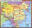
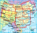
Overizcht GIZI regionale kaarten China
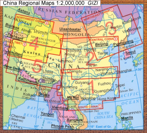
Producten op deze overzichtskaart:
Klik op een product om naar de pagina van dat product te gaan.
- Wegenkaart - landkaart 1 China South - China Zuid | Gizi Map
- Wegenkaart - landkaart 2 Centraal China | Gizi Map
- Wegenkaart - landkaart 3 Noord oost China - northeast China | Gizi Map
- Wegenkaart - landkaart 4 China Noordwest - Northwest China | Gizi Map
- Wegenkaart - landkaart 5 (Geografische versie) Tibet - Bhutan - Nepal | Gizi Map
Overzichtskaarten
Beschrijving
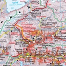
Natuurkundige overzichtskaart Tibet, Bhutan, Nepal met veel plaatsen en wegen, spoorlijnen en rivieren, hoogten, lengte- en breedtegraden - zeer gedetailleerd schaal. Deze kaart is meer gericht op geografische details, minder op het wegennetwerk, daar is van dezelfde uitgever de Roadmpa versie meer geschikt.
Tibet in a series of indexed regional maps of China from Gizi Map, in a road edition with relief shading which makes all the place names stand out better against a lighter background. The map provides an alternative to the altitude colouring used in the geographical edition of this title which follows the presentation used for other regions of China. Most place names are also shown in local versions, with the Tibetan language included in the multilingual legend. The maps extend south to include the whole of Nepal and Bhutan.
In the remaining part of this series, including the geographical edition of Tibet, bold altitude colouring with spot heights plus names of mountain ranges and other geographical features provides an excellent picture of the terrain. The maps show various categories of roads including selected tracks, with intermediate driving distances marked on many routes. Railways, shipping and ferry lines, and local airports are also shown. Province boundaries are indicated and national parks are highlighted. Symbols marks landmarks and features such as tombs, monasteries, churches, temples, ruins, UNESCO sites including the Great Wall, and other places of interest.
Names of main towns are also given in Chinese script and within Tibet alternative versions are provided
Reviews
Geen reviews gevonden voor dit product.
Schrijf een review
Graag horen wij wat u van dit artikel vindt. Vindt u het goed, leuk, mooi, slecht, lelijk, onbruikbaar of erg handig: schrijf gerust alles op! Het is niet alleen leuk om te doen maar u informeert andere klanten er ook nog mee!

