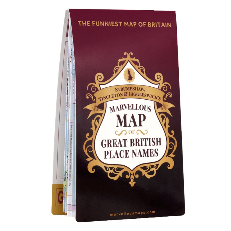
Wegenkaart - landkaart Great British place names map | Ordnance Survey (9781999784546)
- ISBN / CODE: 9781999784546
- Editie: 15-11-2018
- Aantal blz.: 1
- Schaal: 1:25000
- Uitgever: Ordnance Survey
- Soort: Wegenkaart
- Serie: OS
- Taal: Engels
- Hoogte: 24.0 cm
- Breedte: 13.0 cm
- Gewicht: 121.0 g
- Bindwijze: -
- Uitvoering: Papier
- Schrijf als eerste een review
-
€ 27,95
Leverbaar in 3 - 5 werkdagen in huis in Nederland Levertijd Belgie
Gratis verzending in Nederland vanaf €35,-

Beschrijving
Van de uitgever
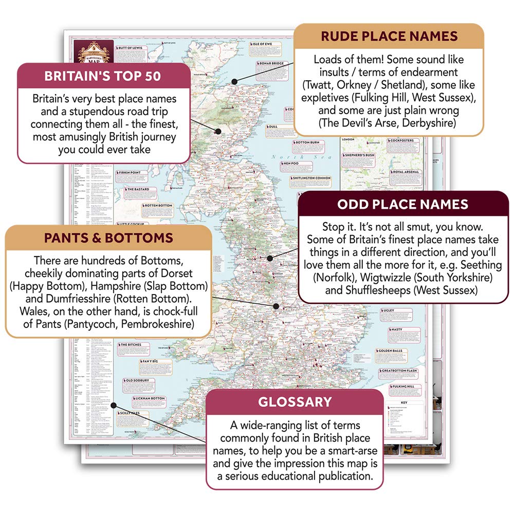
Love ridiculous place names? Then you'll love this map! It makes the perfect amusing gift for a loved one or yourself.
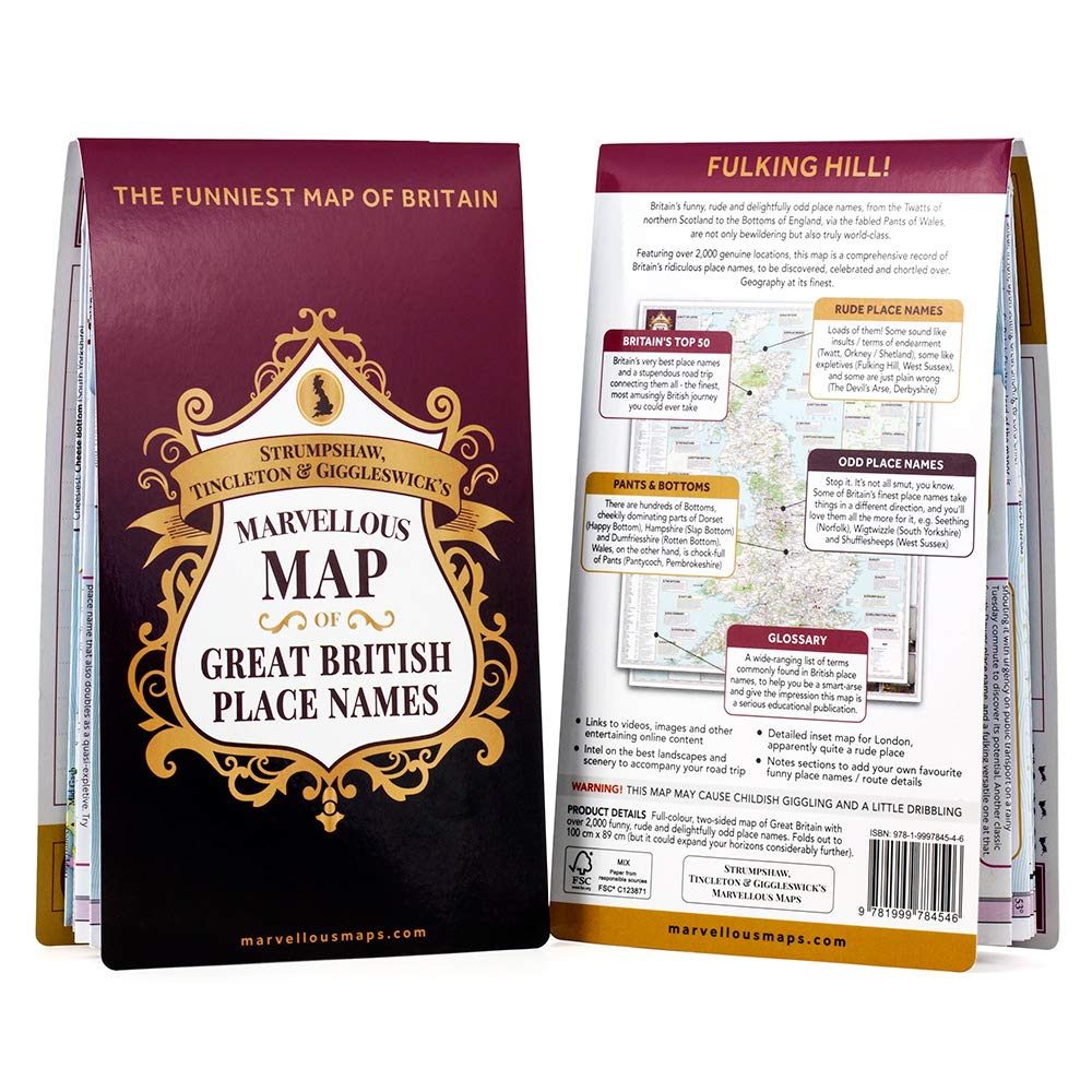
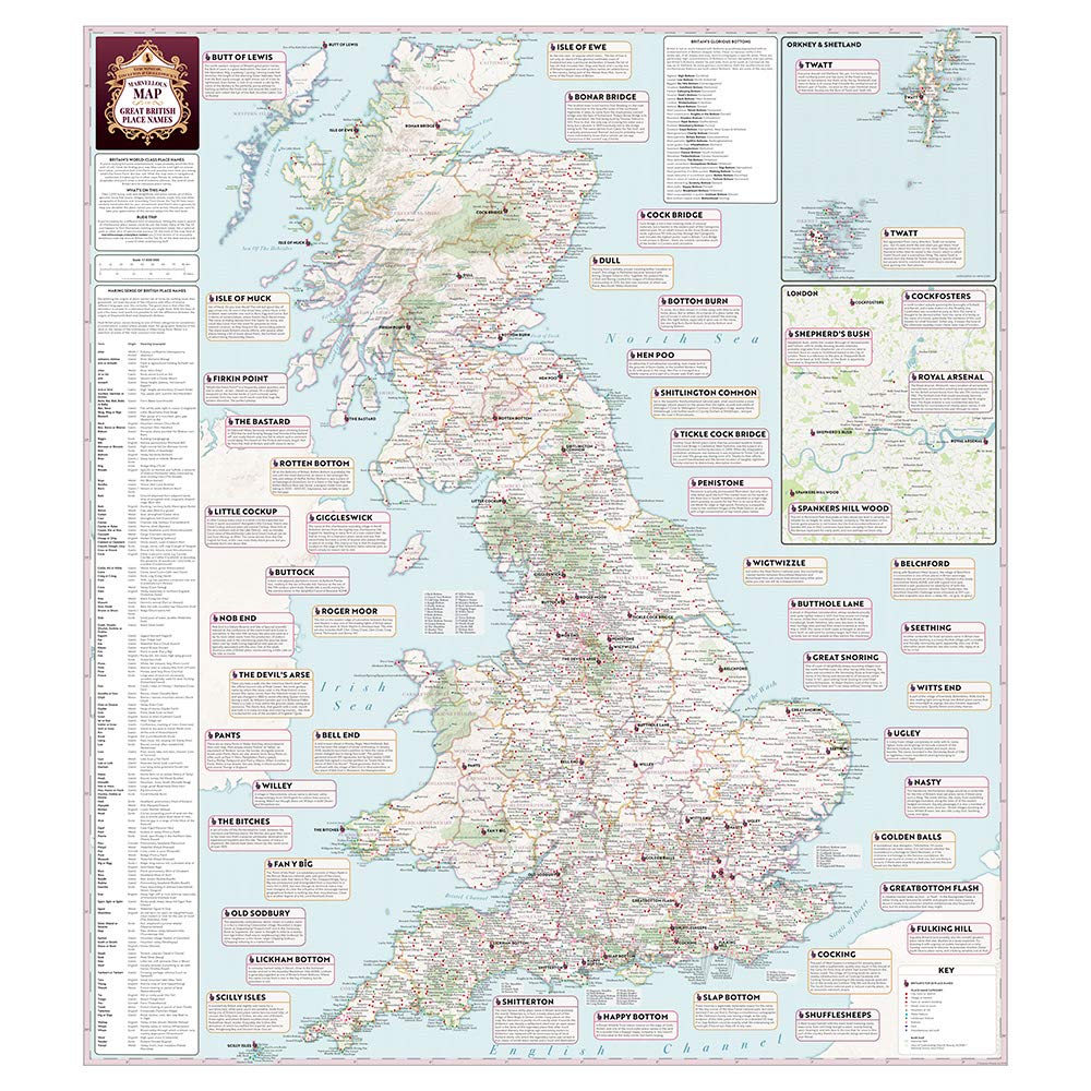
This large map shows all of Great Britain, from Lickham Bottom (Devon) to Foindle (Highlands). Printed on one side with hundreds of the weirdest and funniest names in the country, and on the other with your very own tour planner.
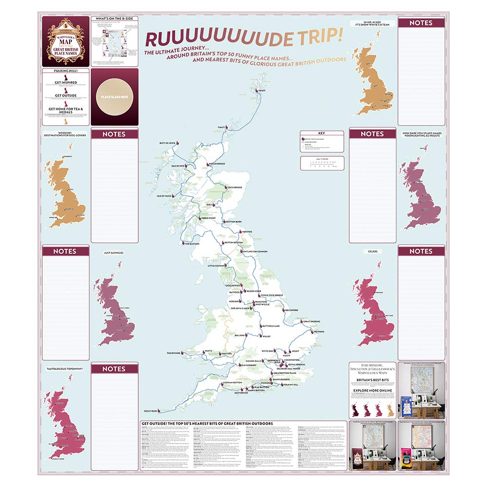
Printed in the same format as our traditional folded maps, the front contains a detailed map with hundreds of place names, some guides to what some of the words mean, plus the top 50 as chosen by ST&G cartographers. The reverse has loads of space to plan your next cheeky adventure, get in the car, and take a rude trip.
Some favourite place names include: Bottom Burn, Fulking Hill, Great Snoring, Dull, Old Sodbury, Wigtwizzle
Reviews
Geen reviews gevonden voor dit product.
Schrijf een review
Graag horen wij wat u van dit artikel vindt. Vindt u het goed, leuk, mooi, slecht, lelijk, onbruikbaar of erg handig: schrijf gerust alles op! Het is niet alleen leuk om te doen maar u informeert andere klanten er ook nog mee!
Ook interessant voor europa/engeland
-

Campinggids Almost Wild Camping | Pu
€ 16,95Campinggidsen Engeland -

Accommodatiegids Cool Places | Punk
€ 22,95Accommodatiegidsen Engeland -

Wandelgids Pilgrim Pathways | Trailb
€ 21,95Wandelgidsen Engeland -
 The Official Cycllist's Challenge Guide | Challenge Publications")
Fietsgids Lands End to John O'Groats
€ 12,50Fietsgidsen Engeland -

Reisgids Wild Swim Britain | Guardia
€ 20,95Reisgidsen Engeland