Winkelwagen
Geen items in winkelwagen
Ga naar winkelwagen
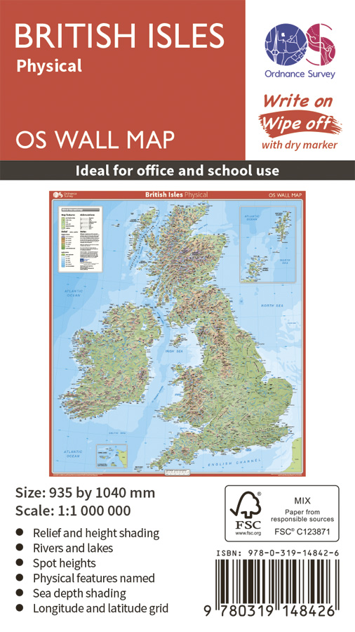
Wandkaart British Isles Physical | 93 x 104 cm | Ordnance Survey (9780319148426)
Geplastificeerd
- ISBN / CODE: 9780319148426
- Editie: 24-02-2016
- Aantal blz.: 1
- Schaal: 1:1000000
- Uitgever: Ordnance Survey
- Soort: Wandkaart van een land
- Taal: Engels
- Hoogte: 104.0 cm
- Breedte: 93.0 cm
- Gewicht: 320.0 g
- Uitvoering: Scheur- en watervast
- Bindwijze: -
- Schrijf als eerste een review
-
€ 20,95
Dit artikel is (tijdelijk) niet leverbaar


Beschrijving
Van de uitgever
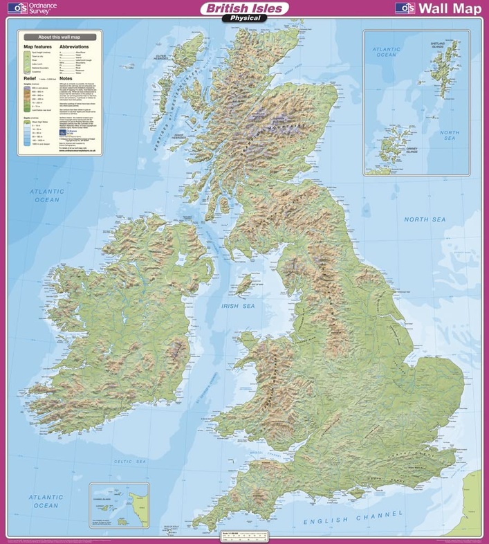
Get the lay of the land – literally – with the British Isles Physical Wall Map, gloss-coated and suitable for use with dry-wipe pens. See the physical features of the United Kingdom and British Isles in the Ordnance Survey’s unsurpassed detailed mapping, ideal for schools, businesses or for decoration.
OS British Isles Physical Wall Map shows:
- Relief and height shading
- Rivers and lakes
- Spot heights
- Physical features named
- Sea depth shading
- Longtitude and latitude grid
OS British Isles Physical Wall Map features:
- Map measures 935 x 1040mm
- Detailed and accurate mapping at 1:1,000,000 scale
- Gloss-coated: Write on and wipe off with a dry-wipe marker
- Delivered flat and rolled in a sturdy cardboard tube
- Shows mountains, rivers, caves and sea depths
- Includes longtitude and latitude grid
- All of the British Isles on one map including Orkneys, Shetland Isles and Channel Island
Reviews
Geen reviews gevonden voor dit product.
Schrijf een review
Graag horen wij wat u van dit artikel vindt. Vindt u het goed, leuk, mooi, slecht, lelijk, onbruikbaar of erg handig: schrijf gerust alles op! Het is niet alleen leuk om te doen maar u informeert andere klanten er ook nog mee!
Alle gerelateerde rubrieken >
Ook interessant voor europa/engeland
-

Reisgids Around the Coast in 80 Days
€ 23,95Reisgidsen Engeland -

Reisverhaal Te hooi en te gras | Ger
€ 21,99Reisverhalen Engeland -

Wandelgids National Trust - Pub Walk
€ 18,50Wandelgidsen Engeland -

Stadsplattegrond Londen miniguide |
€ 8,95Stadsplattegronden Engeland -

Wegenatlas Handy Road Atlas Britain
€ 9,95Wegenatlassen Engeland