North East England
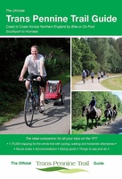 Fietsgids The Ultimate Trans Pennine Trail Guide | Excellent Books
Gidsboek voor de Trans Pennine Trail met spiraalbinding, inclusief kaarten, hoogtegrafieken en verblijfsmogelijkheden. The Trans Pennine Trail guide book covers the hugely popular 370 miles (595km) of trail across the …
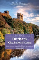 Reisgids Slow Travel Durham | Bradt Travel Guides
Travel writer Gemma Hall explored Durham extensively by bicycle and on foot to produce this brand new title in Bradt's award-winning series of Slow travel guides to UK regions. Walkers, …
★★★★★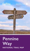 Wandelkaart National Trail Map Pennine Way | Collins
Overzichtskaart op vrij grove schaal van deze LAW Lange Afstands Wandeling in Engeland. Let op: je kunt er niet op lopen. Wel met veel informatie op de kaart, goed ingetekend, …
 Wandelgids Borders Abbeys Way | Rucksack Readers
The Borders Abbeys Way is one of Scotland's Great Trails, a fascinating circuit that takes in the historic ruined abbeys of Melrose, Dryburgh, Kelso and Jedburgh. Within its 68 miles …
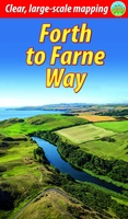 Wandelgids Forth to Farne Way | Rucksack Readers
This inspiring 70-mile pilgrim route starts from North Berwick on the Firth of Forth near Edinburgh, and continues via Whitekirk's 12th century church to Dunbar. It follows the North Sea …
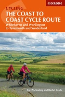 Fietsgids The Coast to Coast Cycle Route | Cicerone
This guidebook details the 137 mile sea-to-sea / C2C cycle route. This much loved short cycle tour across northern England takes you from Whitehaven or Workington on the west coast …
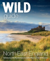 Reisgids Wild Guide North East England | Wild Things Publishing
Discover the hidden side of England's North East. From secret coves and deserted beaches to lost ruins, meadows and swimming rivers with over 1000 lesser-known places. Filled with spectacular photography …
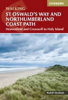 Wandelgids St Oswald's Way and Northumberland Coast Path | Cicerone
This guidebook describes the St Oswald's Way and Northumberland Coast Paths, both long-distance trails through Northumberland. St Oswald's Way (156km, 97 miles) begins in Heavenfield and traverses parts of Northumberland …
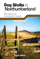 Wandelgids Day Walks in Northumberland | Vertebrate Publishing
Day Walks in Northumberlandfeatures 20 routes between 7.6 and 14.5 miles (12.2km and 23.3km) in length, spread across the coast and the countryside of Northumberland and suitable for hillwalkers of …
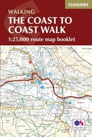 Wandelkaart The Coast to Coast Map Booklet | Cicerone
All the mapping you need to complete the 185-mile (296km) unwaymarked Coast to Coast Walk from St Bees in Cumbria to Robin Hood's Bay, North Yorkshire. This booklet of …
 Wegenkaart - landkaart 3 OS Road Map Southern Scotland & Northumberland | Ordnance Survey
Een serie uitstekende wegenkaarten van Ordnance survey, de topografische dienst van Engeland. Alle 8 delen kennen een schaal van 1:250.000. Het kleurgebruik is uitbundig maar niet storend; integendeel, de hoogtes …
★★★★★★★★★★ Wegenkaart - landkaart 4 OS Road Map Northern Engeland | Ordnance Survey
Een serie uitstekende wegenkaarten van Ordnance survey, de topografische dienst van Engeland. Alle 8 delen kennen een schaal van 1:250.000. Het kleurgebruik is uitbundig maar niet storend; integendeel, de hoogtes …
★★★★★★★★★★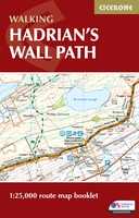 Wandelatlas Hadrian's Wall Path Map Booklet | Cicerone
All the mapping you need to walk the 84 mile (135km) Hadrian's Wall Path from Bowness-on-Solway in Cumbria to Wallsend, Newcastle. This booklet of Ordnance Survey 1:25,000 Explorer maps has …
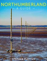 Reisgids Northumberland | Sacristy Press
Northumberland, one of the most sparsely-populated counties in England, with unique features like the Holy Island of Lindisfarne and Hadrian’s Wall, was also a crucible of European civilization and remains …
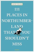 Reisgids 111 places in Northumberland You Shouldn't miss | Emons
Northumberland is the 'Land of the Far Horizon' and England's most northerly county. It was once a place of industrial innovation and manufacturing, literally fuelled by the coal brought up …
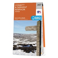 Wandelkaart - Topografische kaart 307 OS Explorer Map Consett, Derwent reservoir | Ordnance Survey
Met zijn 4cm voor 1 km (2 ½ cm voor 1 mijl) schaal, is de OS Explorer kaartenserie de ideale en meest gedetailleerde kaartenreeks voor mensen die graag outdoor-activiteiten zoals …
 Wandelkaart - Topografische kaart 308 OS Explorer Map Durham, Sunderland | Ordnance Survey
Met zijn 4cm voor 1 km (2 ½ cm voor 1 mijl) schaal, is de OS Explorer kaartenserie de ideale en meest gedetailleerde kaartenreeks voor mensen die graag outdoor-activiteiten zoals …
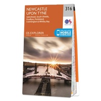 Wandelkaart - Topografische kaart 316 OS Explorer Map Newcastle upon Tyne | Ordnance Survey
Met zijn 4cm voor 1 km (2 ½ cm voor 1 mijl) schaal, is de OS Explorer kaartenserie de ideale en meest gedetailleerde kaartenreeks voor mensen die graag outdoor-activiteiten zoals …
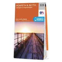 Wandelkaart - Topografische kaart 325 OS Explorer Map Morpeth, Blyth | Ordnance Survey
Met zijn 4cm voor 1 km (2 ½ cm voor 1 mijl) schaal, is de OS Explorer kaartenserie de ideale en meest gedetailleerde kaartenreeks voor mensen die graag outdoor-activiteiten zoals …
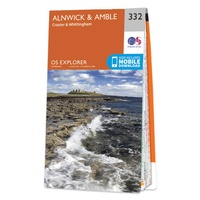 Wandelkaart - Topografische kaart 332 OS Explorer Map Alnwick, Amble | Ordnance Survey
Met zijn 4cm voor 1 km (2 ½ cm voor 1 mijl) schaal, is de OS Explorer kaartenserie de ideale en meest gedetailleerde kaartenreeks voor mensen die graag outdoor-activiteiten zoals …
Laatste reviews

Klein en handig compact boekje, perfect om mee te nemen voor op vakantie!!!👍🏼
★★★★★ door Mathias 11 december 2024 | Heeft dit artikel gekocht
Duidelijk, makkelijk in gebruik en mijn man (het was een kadootje voor hem)stippelt allerlei interessante tochtjes uit met jullie fijne kaarten!
★★★★★ door Joke Erkens 10 december 2024 | Heeft dit artikel gekocht
Met het arriveren van deze prachtige en overzichtelijke wegenkaart is de voorpret van het plannen van de vakantie begonnen. Ik vind het heerlijk om gebogen …
★★★★★ door Carl 10 december 2024 | Heeft dit artikel gekocht
prima kaart - goede schaal om op te lopen - veel toeristische info
★★★★★ door herman de swart 09 december 2024 | Heeft dit artikel gekocht

