Wegenkaart - landkaart Touring Maps Ireland | Collins (9780008369965)
- ISBN / CODE: 9780008369965
- Editie: 17-03-2022
- Aantal blz.: 1
- Schaal: 1:470000
- Uitgever: Collins
- Soort: Wegenkaart
- Serie: Touring Maps
- Taal: Engels
- Hoogte: 14.0 cm
- Breedte: 9.0 cm
- Gewicht: 136.0 g
- Bindwijze: -
- Uitvoering: Papier
- Schrijf als eerste een review
-
€ 10,95
Leverbaar in 3 - 5 werkdagen in huis in Nederland Levertijd Belgie
Gratis verzending in Nederland vanaf €35,-
Beschrijving
Van de uitgever
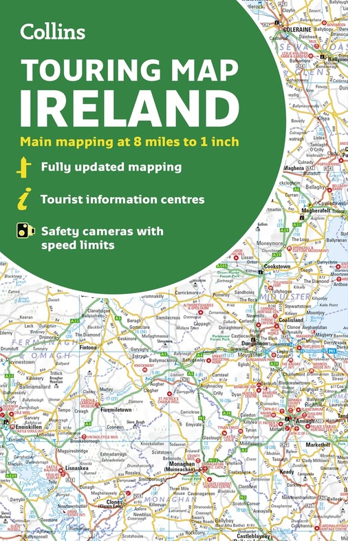
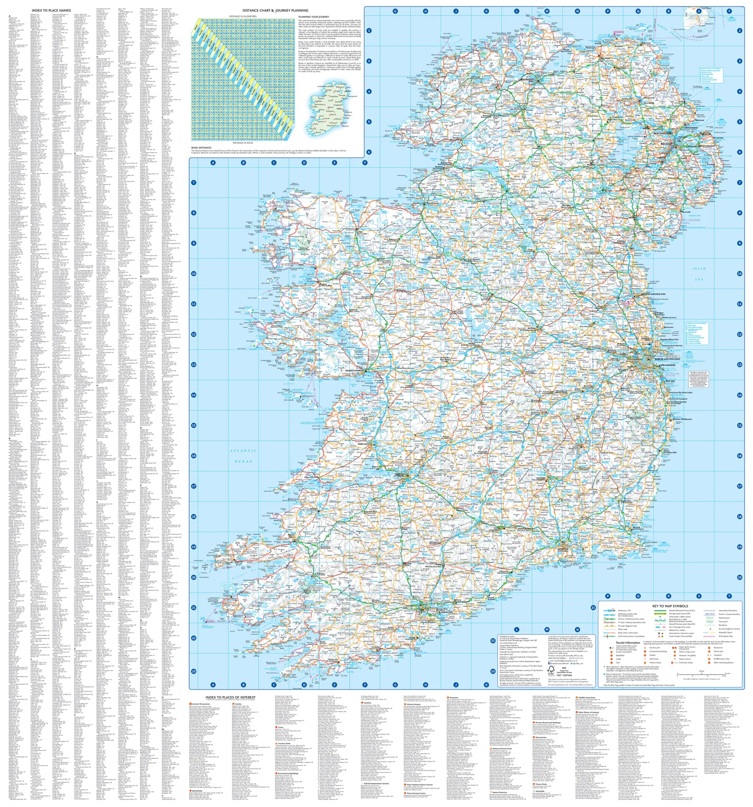
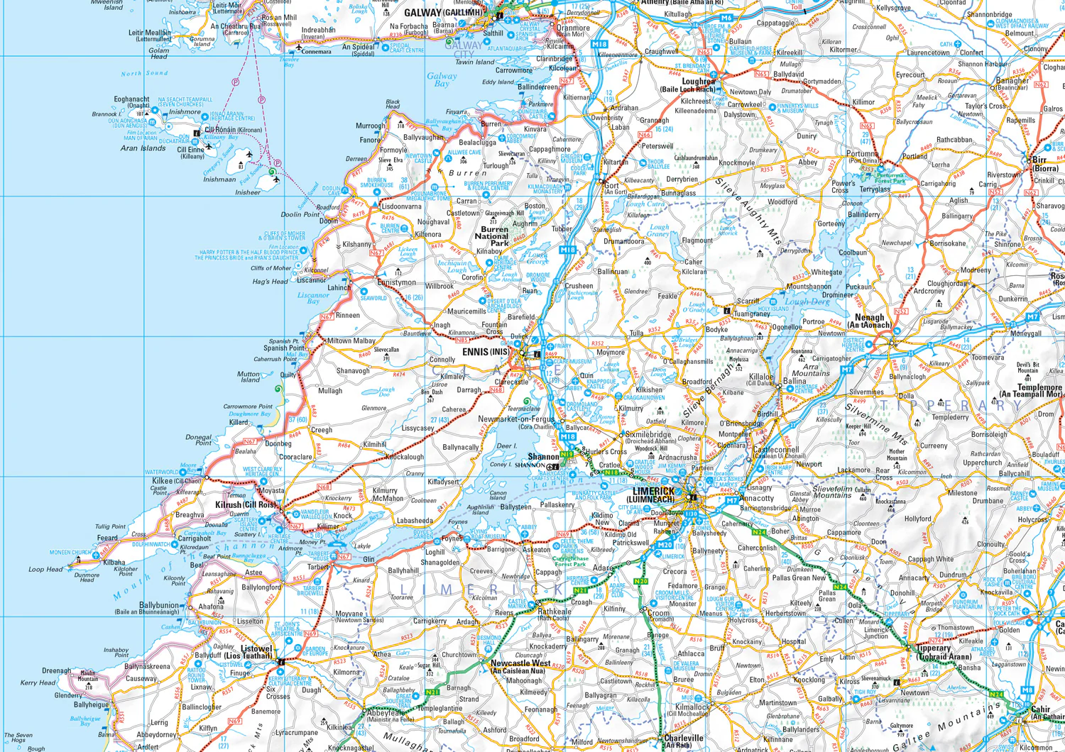
Large full color map of the whole of Ireland showing the road network in detail, and with a special emphasis on places of tourist interest.
This map has a handy touring scale of 7.5 miles to 1 inch (1:475,200). It has more than 20 categories of tourist information depicted on the map with clear, colourful red and yellow symbols. There is a full index to place names and places of interest.
This map includes:
• All classified and most minor roads
• Railway network and ferry routes
• Viewpoints and sandy beaches
• Speed enforcement zones and safety camera locations
• Index to 20 categories of tourist information
• Includes castles, historic houses, gardens, beaches and golf courses
Reviews
Geen reviews gevonden voor dit product.
Schrijf een review
Graag horen wij wat u van dit artikel vindt. Vindt u het goed, leuk, mooi, slecht, lelijk, onbruikbaar of erg handig: schrijf gerust alles op! Het is niet alleen leuk om te doen maar u informeert andere klanten er ook nog mee!
Ook interessant voor europa/ierland
-

Wegenatlas Official Roadatlas of Ire
€ 24,95Wegenatlassen Ierland -

Fietskaart Ballyshannon to Ballycast
€ 11,75Fietskaarten Ierland -

Wandelgids Irland - Ierland | Rother
€ 18,50Wandelgidsen Ierland -

Wandelkaart The Mournes | Ordnance S
€ 14,95Wandelkaarten Ierland -

Reisgids Irland - Ierland | Baedeker
€ 28,95Reisgidsen Ierland