Wegenkaart - landkaart Ireland driving map | Ordnance Survey Ireland (9781908852885)
- ISBN / CODE: 9781908852885
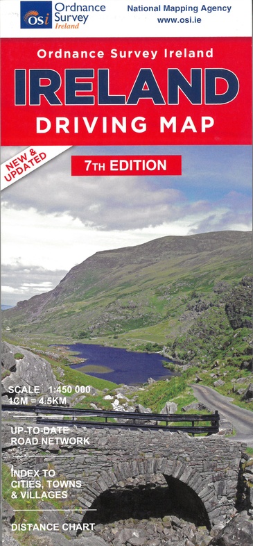
- Editie: 01-01-2019
- Druk: 7
- Aantal blz.: 1
- Schaal: 1:450000
- Uitgever: Ordnance Survey Ireland
- Soort: Wegenkaart
- Taal: Engels
- Hoogte: 25.0 cm
- Breedte: 12.0 cm
- Gewicht: 98.0 g
- Uitvoering: Papier
- Bindwijze: -
- Schrijf als eerste een review
-
€ 20,95
Dit artikel is (tijdelijk) niet leverbaar
Beschrijving
Van de uitgever
A folded map covering the whole of the island of Ireland published by Ordnance Survey Ireland.
Clear easy to read mapping.
Up to Date Road Network and includes a placename Index.
Includes a Distance Chart in Kms.
Distances in Km marked across the map.
Reviews
Geen reviews gevonden voor dit product.
Schrijf een review
Graag horen wij wat u van dit artikel vindt. Vindt u het goed, leuk, mooi, slecht, lelijk, onbruikbaar of erg handig: schrijf gerust alles op! Het is niet alleen leuk om te doen maar u informeert andere klanten er ook nog mee!
Ook interessant voor europa/ierland
-

Wegenatlas Ireland Comprehensive Roa
€ 14,95Wegenatlassen Ierland -

Reisgids Simpelweg Ierland | Lannoo
€ 16,99Reisgidsen Ierland -

Wegenkaart - landkaart Ireland - Ie
€ 11,50Wegenkaarten Ierland -

Fotoboek Ireland's Wild Atlantic Way
€ 15,95Fotoboeken Ierland -

Wandkaart 20427 Ireland – Ierland, 7
€ 25,95Wandkaarten van landen Ierland