Winkelwagen
Geen items in winkelwagen
Ga naar winkelwagen
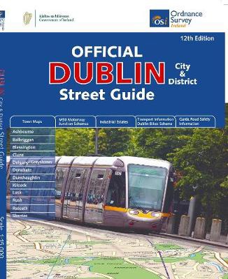
Wegenatlas Dublin official city & district street guide spiral | Ordnance Survey Ireland (9781908852847)
- ISBN / CODE: 9781908852847
- Editie: 08-11-2019
- Druk: 12
- Aantal blz.: 143
- Schaal: 1:210000
- Uitgever: Ordnance Survey Ireland
- Soort: Wegenatlas
- Taal: Engels
- Hoogte: 27.0 cm
- Breedte: 23.0 cm
- Gewicht: 555.0 g
- Bindwijze: Ringband
- Uitvoering: Papier
- Schrijf als eerste een review
-
€ 25,95
Dit artikel is (tijdelijk) niet leverbaar
Beschrijving
Navigate your way around Dublin with confidence with the Official Dublin City & District Street Guide. Find your way around Ireland’s vibrant, historic capital with an enlarged city centre map plus 12 maps of surrounding major towns.
Official Dublin City & District Street Guide features:
- Enlarged city centre map
- Maps of Ashbourne, Balbriggan, Blessington, Clane, Delgany/Greystones, Donabate, Dunshaughlin, Kilcock, Lusk, Rush, Rafoath and Skerries
- Spiral-bound for ease of laying flat and quick navigation
- Schematic maps of all M50 motorway junctions
- Up-to-date and indexed information on hospitals, embassies and industrial estates
- Garda Road Safety Information
- Transport information for bus and rail routes and Dublin Bikes Scheme
Other Ordnance Survey Ireland maps of Dublin include Medieval Dublin, Dublin City Centre Tourist Map and Dublin Commuter Map.
Reviews
Geen reviews gevonden voor dit product.
Schrijf een review
Graag horen wij wat u van dit artikel vindt. Vindt u het goed, leuk, mooi, slecht, lelijk, onbruikbaar of erg handig: schrijf gerust alles op! Het is niet alleen leuk om te doen maar u informeert andere klanten er ook nog mee!
Alle gerelateerde rubrieken >
Ook interessant voor europa/ierland/dublin
-

Topografische kaart - Wandelkaart 56
€ 19,50Topografische kaarten Wicklow - Oost Ierland -

Reisgids Wat & Hoe Dublin en Ierland
€ 10,49Reisgidsen Dublin -

Fietsgids Cycling South Dublin & Wic
€ 22,50Fietsgidsen Wicklow - Oost Ierland -

Wegenatlas Discovery Dublin city cen
€ 19,95Wegenatlassen Dublin -

Stadsplattegrond Pocket Map Dublin |
€ 7,95Stadsplattegronden Dublin