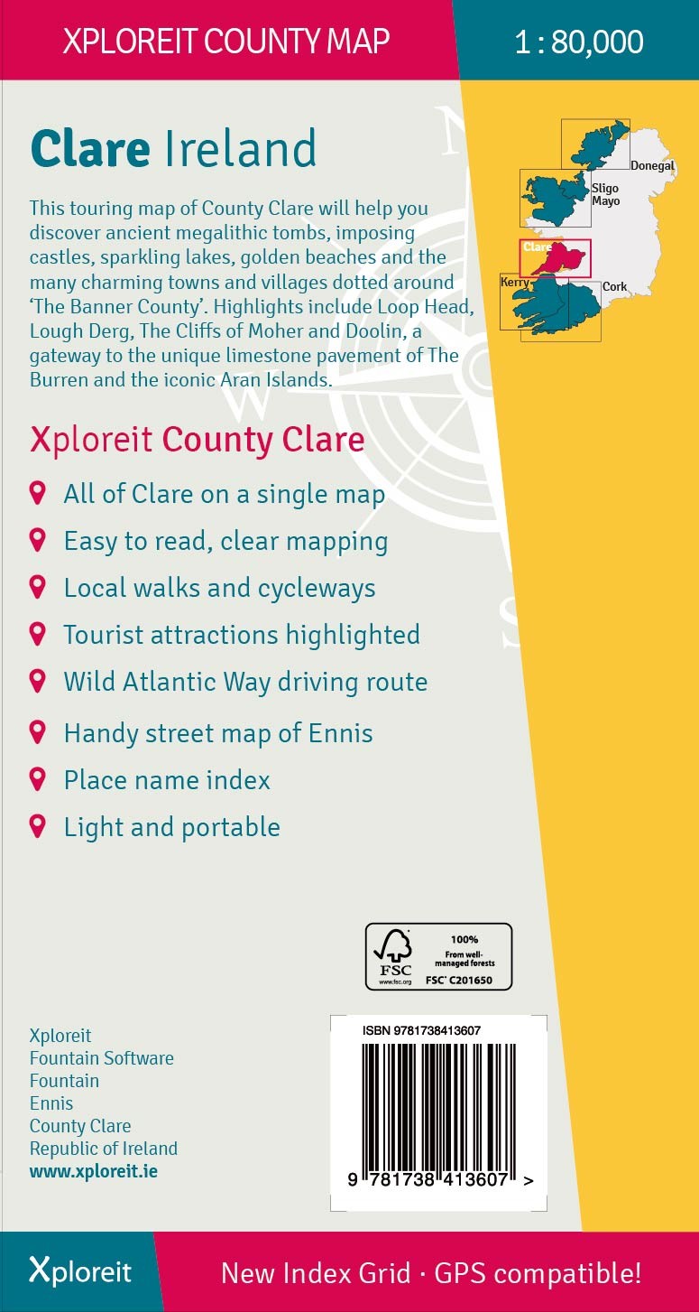
Wegenkaart - landkaart - Fietskaart Clare (Ierland) | Xploreit Maps (9781738413607)

- ISBN / CODE: 9781738413607
- Editie: 25-06-2024
- Druk: 3
- Aantal blz.: 1
- Schaal: 1:80000
- Uitgever: Xploreit Maps
- Soort: Fietskaart, Wegenkaart
- Taal: Engels
- Hoogte: 25.0 cm
- Breedte: 13.0 cm
- Dikte: 1.0 cm
- Gewicht: 99.0 g
- Uitvoering: Scheur- en watervast
- Bindwijze: -
- Beoordeling: 5,0 ★★★★★ (2 reviews) Schrijf een review
-
€ 23,50
Op voorraad. Voor 17.00 uur op werkdagen besteld, morgen in huis in Nederland Levertijd Belgie
Gratis verzending in Nederland vanaf €35,-

-
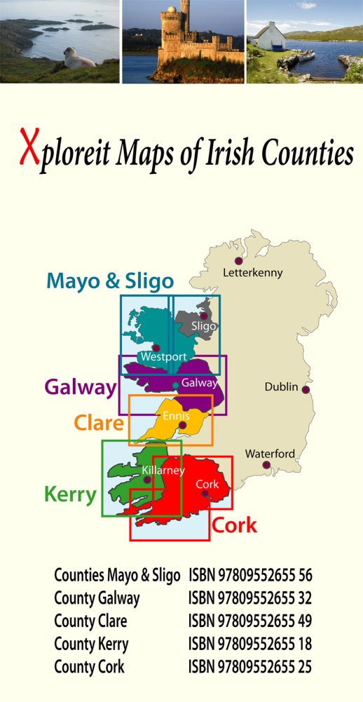
Overzicht Fietskaarten Ierland - xploreit maps 1:100.000

Producten op deze overzichtskaart:
Klik op een product om naar de pagina van dat product te gaan.
Overzichtskaarten
Beschrijving
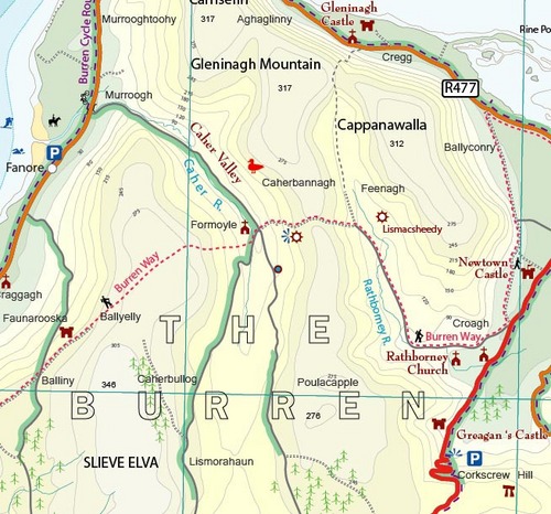
Mooie geplastificeerde en scheurvaste kaart van de County Clare met index.
Reviews
Mooie stevige en vooral ook overzichtelijke kaart. Naast enkele andere kaarten heb ik deze aangeschaft voor een fietstocht langs o.a. de westkust van Ierland (Killarney naar Galway). Staat veel nuttige informatie op voor fietsers (maar ook voor anderen).
★★★★★ door Ed Bos 3 april 2017Vond u dit een nuttige review? (login om te beoordelen)
Prima geregeld. Goed assortiment en vlot en in goede conditie bezorgd.
★★★★★ door T. Attema 11 augustus 2016Vond u dit een nuttige review? (login om te beoordelen)
Schrijf een review
Graag horen wij wat u van dit artikel vindt. Vindt u het goed, leuk, mooi, slecht, lelijk, onbruikbaar of erg handig: schrijf gerust alles op! Het is niet alleen leuk om te doen maar u informeert andere klanten er ook nog mee!
Ook interessant voor europa/ierland/zuidwest
-
 | Ordnance Survey Ireland")
Wegenkaart - landkaart Ireland South
€ 19,50Wegenkaarten Cork - Kerry - Dingle - Zuidwest Ierland -

Reisgids Road Trips Cork, Kerry & So
€ 11,95Reisgidsen Cork - Kerry - Dingle - Zuidwest Ierland -

Wegenatlas The Wild Atlantic Way Ier
€ 24,95Wegenatlassen Cork - Kerry - Dingle - Zuidwest Ierland -

Wandelgids 329 Dingle Way - Ierland
€ 13,50Wandelgidsen Cork - Kerry - Dingle - Zuidwest Ierland -

Wandelkaart Macgillycuddy's Reeks |
€ 24,95Wandelkaarten Cork - Kerry - Dingle - Zuidwest Ierland