Historische wereldkaarten - Wereld
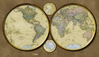
 Historische wereldkaart 20547 World hemispheres, politiek, 107 x 62 cm | National Geographic
During the 1930s and 1940s, National Geographic designed several world maps using a projection that separated the eastern and western hemispheres. We have brought back this classic view of the …
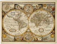
 Historische wereldkaart Wereld antiek 1651 90,5 x 69 cm | Freytag & Berndt
Historische wereldkaart uit het jaar 1651. Deze papieren wereldkaart wordt geleverd in een stevige plastic koker. The map is marked with the names of countries, major cities and ports …
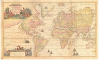
★★★★★★★★★★ Historische wereldkaart Mundo Cartas náuticas 1709 (Gerard van Keulen) | 98 x 60 cm | CNIG - Instituto Geográfico Nacional
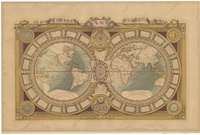
 Historische wereldkaart Mundi de Luis X de Francia 1688 (Postel/Jaugeon) | 107,5 x 71 | CNIG - Instituto Geográfico Nacional
Laatste reviews

Uitgebreide en zeer overzichtelijke kaart, bijna alles staat erop. Handig formaat en past mooi bij de aangeschafte gids.
★★★★★ door Toon Meesters 02 januari 2025 | Heeft dit artikel gekocht
Wil komende zomer naar dit schiereiland. Dit boek heeft ons nog enthousiaster gemaakt. Zeer informatief en volledig en toch in handig formaat
★★★★★ door Toon Meesters 02 januari 2025 | Heeft dit artikel gekocht
Goede omschrijving van producten, Duidelijke website en zoekmachine Snelle levering Zeer tevreden
★★★★★ door Paul Out 02 januari 2025 | Heeft dit artikel gekocht
Pakket is met de feestdagen snel en netjes verzonden. Is precies de landkaart die we zochten. Erg tevreden
★★★★★ door Marieke 01 januari 2025 | Heeft dit artikel gekocht

