Wegenatlassen
Wegenatlas kopen? De perfecte routeplanner op reis koopt u gemakkelijk online bij Reisboekwinkel de Zwerver!
Wegenatlassen zijn de wat uitvoerige vorm van wegenkaarten. Een wegenatlas ligt meestal in de auto en fungeertals handig opzoekmiddel, vooral voor reizigers die langere afstanden willen afleggen. Bijvoorbeeld als u met het gezin door Frankrijk rijdt, of met vierwielaandrijving Zuid-Afrika wil verkennen.
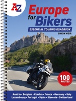 Wegenatlas A -Z Europe for Bikers | Voor Motoren | A-Z Map Company
Discover the best biking routes around Europe. The definitive European motorcycle touring bible, with the best biking roads presented in 100 easy-to-follow, tried-and-tested routes from motorcycle journalist, author and traveller …
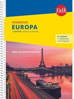 Wegenatlas Europa | Falk
Duidelijke en overzichtelijke atlas van Europa. Ideal für die großen Urlaubsfahrten - Der "Falk Reiseatlas Europa" zeigt alle wichtigen Reiserouten vom Nordkap bis Sizilien und von Lissabon bis Ankara. …
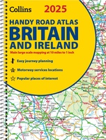 Wegenatlas 2025 Collins Handy Road Atlas Britain and Ireland | Collins
Handzame A5 wegenatlas van Engeland, Wales, Schotland en Ierland met register en stadsplattegronden This easy-to-use, handy A5 sized road atlas with popular lie-flat spiral binding features extremely clear route planning …
★★★★★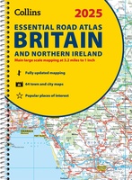 Wegenatlas Essential Road Atlas Britain 2025 | A4 | Ringband | Collins
This A4 road atlas with lie-flat spiral binding provides clear and detailed road mapping for England, Wales and Southern Scotland at a scale of 3.2 miles to 1 inch (1:200,000). …
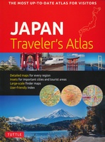 Wegenatlas Japan Traveler's Atlas | Tuttle Publishing
Finding your way around the various regions of Japan is a breeze with this handy Tuttle Japan Traveler's Atlas. Designed for the adventurous traveler and containing all the maps you'll …
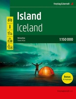 Wegenatlas Island - IJsland | Freytag & Berndt
Bijzonder gedetaileerde wegenatlas van IJsland . Handig in ringband. Der Reiseatlas Island 1:150.000 ist der ideale Wegbegleiter für alle, die Island mit dem Auto oder öffentlichen Verkehrsmitteln erkunden möchte. Er …
★★★★★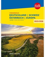 Wegenatlas Falk Straßenatlas 2025-2026 Deutschland, Österreich, Schweiz 1:300 000 | Falk Ostfildern
Der Falk Straßenatlas Deutschland wird ergänzt durch die beiden angrenzenden Reiseländer Österreich und Schweiz. In dem Detailmaßstab 1:300 000 sind selbst kleine Orte zu finden.Die praktische Spiralbindung sorgt zusätzlich für …
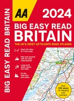 Wegenatlas Big Easy Read Britain 2024 | A3 | Ringband | AA Publishing
AA Publishing brings you the UK’s most up-to-date road atlases Over 100 years of mapping your journeys • Giant scale mapping at 2.5 miles to 1 inch = 1:25,000 • …
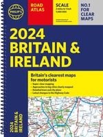 Wegenatlas Road Atlas Britain and Ireland 2024 | Philip's Maps
Let op! Ierland en een gedeelte van Schotland hebben een andere schaal dan de rest van de atlas. PHILIP'S - Market leaders and No. 1 in the UK for …
★★★★★ Wegenatlas Großer Alpenstraßenführer, 28. Ausgabe | Denzel Verlag
Das international bewährte Standardwerk für sportlich-touristisch eingestellte Auto- und Zweiradfahrer! Aus der Vielzahl anfahrbarer Hochpunkte innerhalb des weiten Alpenbogens von Wien bis Marseille wurden rund 700 der interessantesten Hochstraßen und …
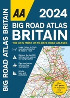 Wegenatlas Big Road Atlas Britain 2025 - A3 | Ringband | AA Publishing
This best-selling A3 format atlas is available in two binding styles; paperback and spiral bound. Up-to-date mapping from the experts at the AA this atlas has large 3 miles to …
★★★★★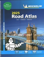 Wegenatlas Road Atlas USA Canada Mexico 2025 | A4-Formaat | Ringband | Michelin
De beroemde wegenatlas van Rand McNally nu als Michelin atlas. Super handige atlas van Michelin in A4 formaat met stevige ringband. Let op: Canada en Mexico staan er zeer beperkt in. …
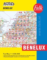 Wegenatlas Autokaart Benelux Tab Map | Falk
De meest gebruiksvriendelijke wegenkaart van de Benelux is ongetwijfeld de Falk Routiq Tab Map. De Routiq Tab Map bladen zijn in een handige ringband gebonden, waar je op de rechterzijde …
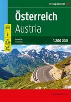 Wegenatlas Oostenrijk - Österreich, Straßen-Atlas 1:200.000 | Freytag & Berndt
Neben der übersichtlichen Gestaltung bietet der "Straßen-Atlas Österreich 1:200.000" zahlreiche Zusatzinformationen wie z.B. Sehenswürdigkeiten, Campingplätze und zahlreiche Stadtpläne. - Erweiterter Kartenteil- Ortsregister mit Postleitzahlen- Planungskarte Europa 1:3,5 Mio.- Staateninformationen Europa- …
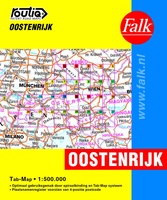 Wegenatlas Oostenrijk Tab Map | Falk
De meest gebruiksvriendelijke wegenkaart van Oostenrijk is ongetwijfeld de Falk Routiq Tab Map. De Routiq Tab Map bladen zijn in een handige ringband gebonden, waar je op de rechterzijde inzoomt …
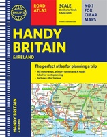 Wegenatlas Handy Road Atlas Britain A5-Formaat | Philip's Maps
"The perfect atlas for planning a trip anywhere in the UK and Ireland"The essential handy road atlas for planning a trip in Britain and Ireland. Keep it in the glove …
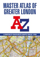 Wegenatlas A -Z Master Atlas of Greater London | A-Z Map Company
De ultieme stratengids van Londen en directe omgeving. Super gedetailleerd en alle straten staan er op, met een enorm register bovendien. The ultimate street atlas to navigate your way around …
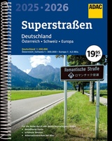 Wegenatlas Superstraßen 2025/2026 Deutschland 1:200 000 | A4 | Ringband | ADAC
Der Praktische Superstraßenatlas für Deutschland, die Schweiz und Österreich. Die Spiralbindung bietet bestmögliches Handling und der Maßstab steuert eine optimale Orientierung hinzu. "Der Kartenteil: Deutschland 1:200 000 …
★★★★★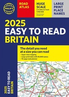 Wegenatlas Easy to Read Road Atlas Britain 2025 | Philip's Maps
"The detail you need at a size you can read". The latest 2025 Philip's Easy to Read Road Atlas of Britain from the best-selling Road Atlas range has over 350 …
★★★★★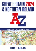 Wegenatlas Great Britain and Northern Ireland Road Atlas 2024 | A-Z Map Company
A full-colour, paperback road atlas of Great Britain, now fully revised and updated. Clear detailed road mapping at a scale of 3.5 miles to 1 inch. Presented in a large, …
Waar moet je op letten als je een goede wegenatlas wilt kopen?
Scheur- en watervaste of een papieren wegenatlas?
Welke schaal van een wegenatlas heb ik nodig?
De leesbaarheid van een wegenatlas
Ringband of gebonden
Wat moet er op een wegenatlas staan?
Kies altijd de meest recente editie van een wegenatlas
Welk formaat wegenatlas heb ik nodig?
Laatste reviews

Heb de gids cadeau gedaan en die persoon was er heel blij mee ..
★★★★★ door J 21 november 2024 | Heeft dit artikel gekocht
De kaart van Kirgystan is prachtig, zeer gedetailleerd. Kan niet wachten tot de we echt op reis hmgaan die kant op.
★★★★★ door Marijke Eering 21 november 2024 | Heeft dit artikel gekocht
Super handig fiets boekje en mooi water bestendig. En handig om op de kaarten te kijken heel duidelijk beschrijving. Wij fietsen al jaren in Duitsland …
★★★★★ door Jenneke holterman 19 november 2024 | Heeft dit artikel gekocht
prima kaart levering en betaling allemaal vlot verlopen
★★★★★ door Marc Buts 19 november 2024 | Heeft dit artikel gekocht

