Wandelgidsen - East of England - East Anglia
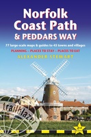 Wandelgids Norfolk Coast Path - Peddars Way | Trailblazer Guides
The Norfolk Coast Path & Peddars Way cover 130-miles of walking trails. The Peddars Way runs through East Anglia from Knettishall Heath on the Norfolk/Suffolk border and follows a Roman …
★★★★★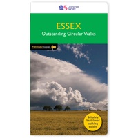 Wandelgids 044 Pathfinder Guides Essex | Ordnance Survey
Pathfinder Guide to Essex offers excellent lowland walking in the south-east of England. The routes are all circular exploring the finer countryside of the county, in a series of parkland, …
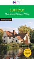 Wandelgids 048 Pathfinder Guides Suffolk | Ordnance Survey
Fraaie, goed verzorgde wandelgidsjes met 28 wandelingen van max. een dag, (beginnend bij korte, eindigend bij langere wandelingen). Weergegeven op duidelijke topografische kaartjes (1:25.000). Bevat verder wetenswaardigheden en praktische informatie …
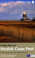 Wandelgids Peddars Way and Norfolk Coast Path | Aurum Press
Gedetailleerde routebeschrijving. De kaartjes zijn uitstekend (1:25.000 in kleur). Met goede achtergrondinformatie over de streek, maar de informatie omtrent accommodatie onderweg is zeer beperkt. Kijk daarvoor op de site van …
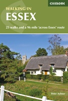 Wandelgids Walking in Essex | Cicerone
Wandelgids met 25 dagtochten en een meerdaagse tocht in Essex. Goede omschrijvingen, veel praktische informatie. Redelijk kaartmateriaal This guidebook describes 25 coastal and inland day walks covering the whole …
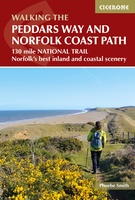 Wandelgids The Peddars Way and Norfolk Coast Path | Cicerone
Uitstekende wandelgids van de Peddars Way en de Norfolk Coast Path, waarbij naast alle noodzakelijke informatie ook gebruik gemaakt wordt van de echte topografische kaart. The Peddars Way and Norfolk …
★★★★★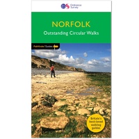 Wandelgids 045 Pathfinder Guides Norfolk | Ordnance Survey
200 miles of inland and coastal walking visiting windpumps and watermills . . . Walk 28 beautiful trails across Norfolk with the OS Pathfinder Guidebooks, graded by length and …
 Wandelgids 051 Pathfinder Guides Cambridgeshire & the Fens | Ordnance Survey
Explore 28 beautiful walks across Cambridgeshire and the Fens with the OS Pathfinder Guidebooks, graded by length and ranging from 3 to 11 miles. It is the flattest place …
 Wandelgids Park Rangers Favourite Walks Broads | Collins
The perfect companions for exploring the National Parks. Walking guide to the Broads National Park, with 20 best routes chosen by the park rangers. Each walk varies in length from …
 Wandelgids 50 Walks in Hertfordshire | AA Publishing
Uitstekende wandelgids met een aantal dagtochten tussen de 5 en 13 kilometer. Niet heel erg lang dus, maar wel op de mooiste plekken en goed beschreven en prima kaartmateriaal. …
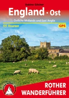 Wandelgids England Ost - Engeland oost | Rother Bergverlag
Duitstalige wandelgids van de Midlans en oost Anglia met zeer goed beschreven wandelingen in de wandelgebieden. Redelijk kaartmateriaal, vooral de beschrijving van de route en de praktische info die er …
 Wandelgids The Ridgeway | Trailblazer Guides
Goede wandelgids waarin met veel details alle etappes zijn beschreven. Tevens informatie over overnachtingen en openbaar vervoer. This is an all-in-one hiking guide to The Ridgeway, an 87-mile trail that …
 Pelgrimsroute - Wandelgids London to Walsingham Camino | Trailblazer Guides
Full colour, larger format Inspirational guide describing the 13 stages of the pilgrimage route from London to the shrines at Walsingham in Norfolk. The book follows a resurrected route which …
★★★★★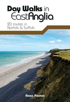 Wandelgids Day Walks East Anglia | Vertebrate Publishing
Day Walks in East Angliafeatures 20 routes between 5.7 and 13.9 miles (9.2km and 22.4km) in length, suitable for hillwalkers of all abilities. Researched and written by outdoor adventure expert …
 Wandelgids Cambridgeshire | Pocket Mountains
Handige compacte wandelgids met 40 dagwandelingen. Deze gids bevat kleine kaartjes en leuke uitgebreide informatie over wat er langs de route te zien is. Goede wandelkaarten zijn echter we noodzakelijk …
 Wandelgids Essex | Pocket Mountains
Essex is full of surprises. Not only is it one of the largest counties in England by population and area, it is also home to Britain’s first city, several bustling …
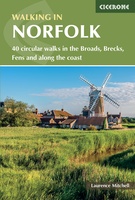 Wandelgids Walking in Norfolk | Cicerone
This guidebook describes 40 circular walks in Norfolk, including walks along the coast and walks exploring the Fens and the Broads. From 4 to 12 miles, these mostly flat walks …
 Wandelgids Norfolk | Pocket Mountains
Handige compacte wandelgids met 40 dagwandelingen. Deze gids bevat kleine kaartjes en leuke uitgebreide informatie over wat er langs de route te zien is. Goede wandelkaarten zijn echter we noodzakelijk …
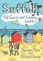 Wandelgids Suffolk : 40 Coast and Country Walks | Pocket Mountains
Handige compacte wandelgids met 40 dagwandelingen. Deze gids bevat kleine kaartjes en leuke uitgebreide informatie over wat er langs de route te zien is. Goede wandelkaarten zijn echter we noodzakelijk …
 Wandelgids The Chilterns | Pocket Mountains
Handige compacte wandelgids met 40 dagwandelingen. Deze gids bevat kleine kaartjes en leuke uitgebreide informatie over wat er langs de route te zien is. Goede wandelkaarten zijn echter we noodzakelijk …
Laatste reviews

Heb de gids cadeau gedaan en die persoon was er heel blij mee ..
★★★★★ door J 21 november 2024 | Heeft dit artikel gekocht
De kaart van Kirgystan is prachtig, zeer gedetailleerd. Kan niet wachten tot de we echt op reis hmgaan die kant op.
★★★★★ door Marijke Eering 21 november 2024 | Heeft dit artikel gekocht
Super handig fiets boekje en mooi water bestendig. En handig om op de kaarten te kijken heel duidelijk beschrijving. Wij fietsen al jaren in Duitsland …
★★★★★ door Jenneke holterman 19 november 2024 | Heeft dit artikel gekocht
prima kaart levering en betaling allemaal vlot verlopen
★★★★★ door Marc Buts 19 november 2024 | Heeft dit artikel gekocht

