Schotland
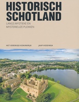 Reisgids PassePartout Historisch Schotland | Edicola
Schotland. Een land wat beelden oproept van mistige hooglanden, oude kastelen en ruïnes, Keltische steencirkels en woeste bergen waarin het verleden nog steeds voelbaar aanwezig is. In deze gids neemt …
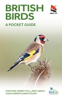 Vogelgids British Birds | Princeton University
A carefully designed and lavishly illustrated photographic guide This innovative and carefully designed photographic guide provides a concise introduction to the identification of the 246 birds most likely to be …
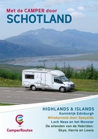 Campergids Met de Camper door Schotland | Camperroutes.nl
CamperRoute door SCHOTLAND - Border Counties en Edinburgh - Blair Castle met parade van de Atholl Highlanders - Het whiskygebied van Speyside - De grillige kusten van de Westelijke Hooglanden …
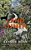 Reisverhaal Landlijnen | Raynor Winn
In haar unieke, beeldende, empathische stijl, doet bestsellerauteur Raynor Winn in het spectaculaire Landlijnen verslag van de zwaarste wandeltocht die zij en haar man Moth tot nu toe ondernamen. Te …
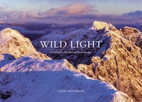 Fotoboek Wild Light | Vertebrate Publishing
Wild Light is a stunning panoramic exploration of the Scottish landscape by photographer Craig Aitchison, winner of the inaugural Scottish Landscape Photographer of the Year competition. Produced over seven years …
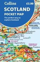 Wegenkaart - landkaart Pocket Map Scotland | Collins
Handy little full colour map of Scotland. Excellent value and very detailed for its size. Double-sided folded map with the Central Belt, southern Scotland and northern England on one side …
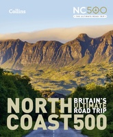 Reisgids North Coast 500 NC500 | Collins
Highly illustrated, full colour book showcasing what is unique about the North Coast 500. Striking images and descriptive text of the best places to visit are shown along with a …
★★★★★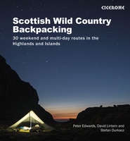 Wandelgids Scottish Wild Country Backpacking | Cicerone
Stunning backpacking routes in the Scottish Highlands and Islands are covered in this inspiring, large-format guidebook. 30 routes are described, ranging from 1-4 days, with most suitable for a long …
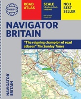 Wegenatlas Navigator Britain - Engeland en Schotland 1:100.000 | Philip's Maps
Bijzonder gedetaileerde wegenatlas van Engeland en Schotland op schaal 1:100.000 (met het noorden van Schotland 1:200.000). Alle wegen, bezienswaardigheden, National Trails, campings ... noem maar op en je vindt het …
★★★★★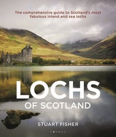 Reisgids The Lochs of Scotland - Schotland | Conway
There are at least 31,460 freshwater lochs in Scotland, and hundreds of sea lochs. This stunning book showcases more than 50 of the most popular, interesting and beautiful, and is …
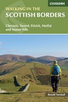 Wandelgids Walking in the Scottish Borders | Cicerone
This guidebook provides 45 day walks in the Scottish Borders. Separated into six sections, these walks are divided between the north and south Cheviots, Tweed, Ettrick, Moffat and Manor hills …
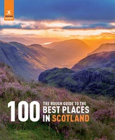 Reisgids The Rough Guide to the 100 Best Places in Scotland - Schotland | Rough Guides
The Rough Guide to the 100 Best Places in Scotland shines a light on the country's most spectacular places in a brand-new coffee-table book. From the wild and remote mountains …
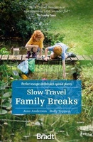 Reisgids Slow Travel Family Breaks | Bradt Travel Guides
Een bijzondere serie van Bradt guides. Met veel aandacht voor kleine details die je niet gauw elders zult vinden. Naast de beschrijvende informatie vind je ook een schat aan praktische …
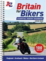 Wegenatlas Britain for Bikers | Voor Motoren | A-Z Map Company
Discover the best biking routes around Great Britain and Northern Ireland. Your essential rideout roadbook covering the best biking routes around Great Britain and Northern Ireland, including short trips and …
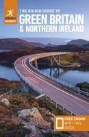 Reisgids Green Britain & Northern Ireland | Rough Guides
Een kleinere versie van de grotere versies van de Rough Guides. Als altijd weer vol met goede informatie over cultuur en praktische zaken. Achterin kleine plattegronden. Practical travel guide …
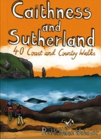 Wandelgids Caithness and Sutherland | Pocket Mountains
Handige compacte wandelgids met 40 dagwandelingen. Deze gids bevat kleine kaartjes en leuke uitgebreide informatie over wat er langs de route te zien is. Goede wandelkaarten zijn echter we noodzakelijk …
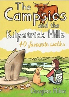 Wandelgids The Campsies and the Kilpatrick Hills | Pocket Mountains
Handige compacte wandelgids met 40 dagwandelingen. Deze gids bevat kleine kaartjes en leuke uitgebreide informatie over wat er langs de route te zien is. Goede wandelkaarten zijn echter we noodzakelijk …
 Wandelkaart Ben Lawers & Schiehallion | Harvey Maps
Harvey Maps for hillwalkers showing the hills from Loch Tay to Glen Lyon. This detailed walking map includes Ben Lawers and the Tarmachan Ridge. The Superwalker XT25 is based on …
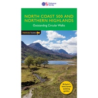 Wandelgids 083 Pathfinder Guides North Coast 500 and Northern Highlands | Ordnance Survey
Enhance your North Coast 500 tour with the only walking guidebook featuring routes based on or accessible from Scotland’s ultimate road trip. Discover Britain’s remotest sandy beaches, Scotland’s most northerly …
 Wandelkaart Arrochar Alps | Harvey Maps
Includes Beinn Ime, Ben Vorlich and the Cobbler (Ben Arthur). Detailed map for hillwalkers of the western part of the Loch Lomond and Trossachs National Park at the popular scale …
Laatste reviews

Blij dat De Zwerver deze perfecte, franstalige IGN gidsen aanbiedt en dan óók met een woordenlijst erbij gevoegd. De voorbereiding kan beginnen na een vlotte …
★★★★★ door Lie van Schelven 06 januari 2025 | Heeft dit artikel gekocht
Voor een paar dagen Leipzig een prima reisgids. Het deel voor Dresden is aanmerkelijk groter maar was niet hinderlijk.
★★★★★ door J.A. Pazie 06 januari 2025 | Heeft dit artikel gekocht
Op reis in Botswana is deze kaart onmisbaar en vreselijk nuttig. Handig met tankstations. Snel thuisbezorgd.
★★★★★ door henk heeringa 06 januari 2025 | Heeft dit artikel gekocht
Zeer tevreden.
★★★★★ door R. Ahlers 06 januari 2025 | Heeft dit artikel gekocht

