Hebriden
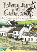 Wandelgids Islay, Jura and Colonsay | Pocket Mountains
Handige compacte wandelgids met 40 dagwandelingen. Deze gids bevat kleine kaartjes en leuke uitgebreide informatie over wat er langs de route te zien is. Goede wandelkaarten zijn echter wel aan …
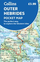 Wegenkaart - landkaart Pocket Map Outer Hebrides | Collins
Explore new places with handy pocket maps from Collins. Handy little full-colour map of the Western Isles of Scotland. Detailed mapping and tourist information for the islands of Lewis, Harris, …
★★★★★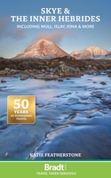 Reisgids Inner Hebrides - Hebriden - Schotland | Bradt Travel Guides
Voor vele landen en streken net zo goed, zo niet beter dan de Planet. soberder uitgevoerd, maar ook met veel informatie voor backpackers en met veel kaartmateriaal. Een aanrader! Voor …
★★★★★★★★★★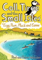 Wandelgids Coll, Tiree and the Small Isles | Pocket Mountains
Handige compacte wandelgids met 40 dagwandelingen. Deze gids bevat kleine kaartjes en leuke uitgebreide informatie over wat er langs de route te zien is. Goede wandelkaarten zijn echter we noodzakelijk …
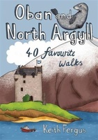 Wandelgids Oban and North Argyll | Pocket Mountains
This guidebook covers a large swathe of Mid and North Argyll, sweeping inland from the fractured western seaboard between Crinan and Appin to Arrochar and Bridge of Orchy on the …
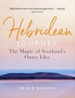 Reisgids Hebridean Journey | Birlinn
Washed by the surging waves of the Atlantic Ocean, the island chain of the Outer Hebrides lies at the very edge of Europe. This richly illustrated book is a fabulous …
 Wandelkaart Rum, Eigg, Canna, Muck | Harvey Maps
More than "just" a map, this map is an essential piece of equipment, this new generation of HARVEY Superwalkers is designed to be the most practical tool for navigation outdoors. …
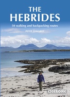 Wandelgids The Hebrides - De Hebriden Schotland | Cicerone
This inspirational guide offers 50 varied hiking and backpacking routes on the Scottish Hebrides islands, set out in a large guidebook to be savoured. The hikes highlight all the very …
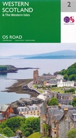 Wegenkaart - landkaart 2 OS Road Map Western Scotland & the Western Isles | Ordnance Survey
Een serie uitstekende wegenkaarten van Ordnance survey, de topografische dienst van Engeland. Alle 8 delen kennen een schaal van 1:250.000. Het kleurgebruik is uitbundig maar niet storend; integendeel, de hoogtes …
★★★★★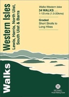 Wandelgids Walks Western Isles | Hallewell Publications
This guide includes walks on every island in the Western Isles (or ‘Outer Hebrides’ – you will see either on maps) which can be reached by public transport. The islands …
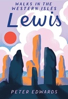 Wandelgids Lewis | Pocket Mountains
The Isle of Lewis is a magnificent domain of rugged hillcountry and lochan-scattered moorland, fringed by tenacious crofting townships. The coastline is a realm of rocky cliffs, sea lochs, islands …
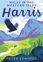 Wandelgids Harris | Pocket Mountains
The Isle of Harris is home to some wonderful walking country, from the rugged ridges and glens of the Harris Hills to the astonishingly beautiful white sand beaches of the …
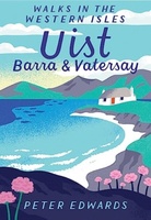 Wandelgids Uist, Barra & Vatersay | Pocket Mountains
The elemental landscapes of Uist and Barra include some superb walking country. The dune-backed beaches, machair and croftland of the Atlantic shores contrast with the lochan-scattered moorland and rugged hillcountry …
Laatste reviews

Blij dat De Zwerver deze perfecte, franstalige IGN gidsen aanbiedt en dan óók met een woordenlijst erbij gevoegd. De voorbereiding kan beginnen na een vlotte …
★★★★★ door Lie van Schelven 06 januari 2025 | Heeft dit artikel gekocht
Voor een paar dagen Leipzig een prima reisgids. Het deel voor Dresden is aanmerkelijk groter maar was niet hinderlijk.
★★★★★ door J.A. Pazie 06 januari 2025 | Heeft dit artikel gekocht
Op reis in Botswana is deze kaart onmisbaar en vreselijk nuttig. Handig met tankstations. Snel thuisbezorgd.
★★★★★ door henk heeringa 06 januari 2025 | Heeft dit artikel gekocht
Zeer tevreden.
★★★★★ door R. Ahlers 06 januari 2025 | Heeft dit artikel gekocht

