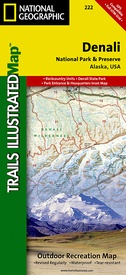
Wandelkaart - Topografische kaart 222 Trails Illustrated Denali National Park | National Geographic (9781566953283)
Alaska, USA
- ISBN / CODE: 9781566953283
- Editie: 01-12-2023
- Aantal blz.: 1
- Schaal: 1:225000
- Uitgever: National Geographic
- Soort: Topografische kaart, Wandelkaart
- Serie: Trails Illustrated
- Taal: Engels
- Hoogte: 19.0 cm
- Breedte: 10.0 cm
- Gewicht: 94.0 g
- Bindwijze: -
- Uitvoering: Scheur- en watervast
- Schrijf als eerste een review
-
€ 16,95
Op voorraad. Voor 17.00 uur op werkdagen besteld, morgen in huis in Nederland Levertijd Belgie
Gratis verzending in Nederland vanaf €35,-
-
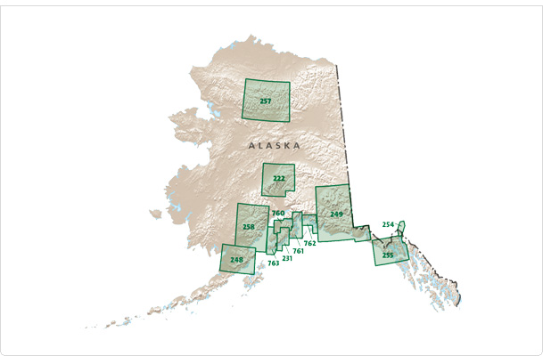
Overzicht Wandelkaarten Alaska Trails Illustrated National Geographic


Producten op deze overzichtskaart:
Klik op een product om naar de pagina van dat product te gaan.
- Wandelkaart - Topografische kaart 222 Trails Illustrated Denali National Park | National Geographic
- Wandelkaart - Topografische kaart 248 Katmai National Park & Preserve | National Geographic
- Wandelkaart - Topografische kaart 254 Chilkoot Trail | National Geographic
- Wandelkaart - Topografische kaart 255 Glacier Bay National Park & Preserve | National Geographic
- Wandelkaart - Topografische kaart 257 Trails Illustrated Gates of the Arctic National Park & Preserve | National Geographic
- Wandelkaart - Topografische kaart 761 Prince William Sound West | National Geographic
Overzichtskaarten
Beschrijving
Prachtige geplastificeerde kaart van het bekende nationaal park. Met alle recreatieve voorzieningen als campsites, maar ook met topografische details en wandelroutes ed. Door uitgekiend kleurgebruik zeer prettig in gebruik. Scheur en watervast!
This colorful Trails Illustrated folded map offers detailed coverage of Alaska's Denali National Park. Provides valuable wilderness tips and Leave No Trace guidelines, along with updated trails, trailheads, points of interest, campgrounds and much more. Printed on waterproof, tear-resistant material with a plastic coating that offers the durability needed for outdoor use. Includes selected waypoints in both lat./lon. and UTM coordinate systems as well as GPS-compatible UTM grid lines for easy navigation. Measures 9.25 x 4.25 in. folded and 37.75 x 25.5 in. fully opened; scale of 1:225,000. National Geographic Maps
Reviews
Geen reviews gevonden voor dit product.
Schrijf een review
Graag horen wij wat u van dit artikel vindt. Vindt u het goed, leuk, mooi, slecht, lelijk, onbruikbaar of erg handig: schrijf gerust alles op! Het is niet alleen leuk om te doen maar u informeert andere klanten er ook nog mee!


