Wales
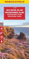 Wegenkaart - landkaart Great Britain & Ireland - Groot Brittannië & Ierland | Marco Polo
Duidelijke wegenkaart van Marco Polo: alle wegen, zowel de verharde als belangrijke onverharde wegen zijn weergegeven. Mooie toeristisch interessante wegen die de moeite waard zijn, zijn groen gearceerd. Veel toeristische …
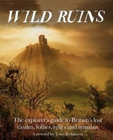 Reisgids Wild Ruins | Wild Things Publishing
Discover and explore Britain’s extraordinary history through its most beautiful lost ruins. From crag-top castles to crumbling houses in ancient forests, and ivy-encrusted relics of industry to sacred places long …
 Wegenkaart - landkaart Wales & south of England - Zuid Engeland | ITMB
Een degelijke kaart met aanduidingen van o.a. nationale parken, vliegveld, benzinepompen. We are gradually increasing the scales for our data of Great Britain and this is our latest effort. Most …
★★★★★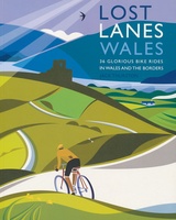 Fietsgids Lost Lanes Wales | Wild Things Publishing
Goede engelstalige fietsgids van zuid Engeland, met 36 fietsroutes Travelling at a leisurely pace Jack explores the Wales and the border counties taking in mountain summits, enchanted woodlands, wild seashores, …
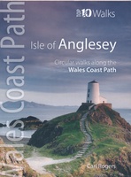 Wandelgids Isle of Anglesey - Wales | Northern Eye Books
Zeer handzaam boekje van een tiental rondwandelingen, met goede kaarten en beschrijving. Leuke toevoeging op de route of als je alleen maar naar die streek gaat en op zoek bent …
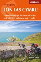 Fietsgids Cycling Lon Las Cymru | Cicerone
Guidebook to cycling Lôn Las Cymru, a 255 mile (410km) route from Cardiff, or 242 mile (390km) from Chepstow to Holyhead, showcasing Wales's beautiful rural heartland. Passing through the Brecon …
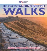 Wandelgids 100 outstanding British Walks | Ordnance Survey
Beschrijving van de 100 mooiste Pathfinder wandelingen in Engeland, Wales en Schotland. Uitstekende beschrijving van de route met een zeer duidelijke topografische kaart waarop de route is ingetekend. This magnificent …
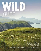 Reisgids Wild Guide Wales | Wild Things Publishing
A new compendium of adventures, from the best-selling Wild Guide series (winner of travel guidebook of the year 2015). This guide to Wales and the Welsh Marches, one of Europe's …
★★★★★★★★★★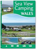 Campinggids - Campergids Sea View Camping Wales | Vicarious Books
This unique guide shows and tells you about 111 campsites, camping and caravan parks and holiday parks with sea views around the Welsh coast. Whether walker, surfer, history buff or …
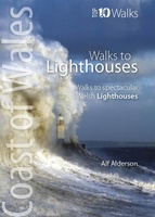 Wandelgids Walks to Lighthouses Wales | Northern Eye Books
Klein, handzaam wandelgidsje met spectaculaire wandelingen naar vuurtorens. Met goede kaartjes van Ordnance Survey. This attractive and cleverly structured guide gives walkers ten of the finest walks to the ten …
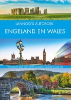 Reisgids Lannoo's Autoboek Engeland en Wales | Lannoo
Drie uitgestippelde autoroutes en twee stadswandelingen loodsen je oor de fraaiste regio's Atlas met kaarten op schaal 1:750.000 en meer dan 700 kleurenfoto's Handige geografische indeling en sterrenquotering England en …
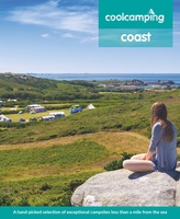 Campinggids - Campergids Cool Camping Coast | Punk Publishing
In recognition of the nation's love for the Great British coastline, 2018 sees the launch of a brand new guidebook - Cool Camping: Coast - the latest title in the …
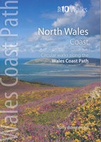 Wandelgids North Wales Coast walks | Northern Eye Books
Zeer handzaam boekje van een tiental rondwandelingen, met goede kaarten en beschrijving. Leuke toevoeging op de route of als je alleen maar naar die streek gaat en op zoek bent …
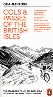 Fietsgids Cols and Passes of the British Isles
A col is the lowest point on the saddle between two mountains. Graham Robb has spent years uncovering and cataloguing the 2,002 cols and 105 passes scattered across the British …
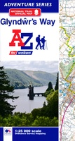 Wandelatlas Adventure Atlas Glyndwr's Way | A-Z Map Company
AZ heeft de meest gedetailleerde wandelkaarten van de Glyndwr's Way gebundeld in een atlasje. Daardoor is het heel handig qua formaat. De kaarten zelf zijn perfect voor het wandelen. Schaal …
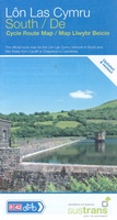 Fietskaart Cycle Route Map Lôn Las Cymru South | Sustrans
Het is niet een heel overzichtelijke kaart, het zijn juist blokken van een deel van de route waarop deze staat ingetekend. Daarin juist wel heel goed met handige stedenkaarten en …
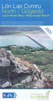 Fietskaart Cycle Route Map Lôn Las Cymru North | Sustrans
Het is niet een heel overzichtelijke kaart, het zijn juist blokken van een deel van de route waarop deze staat ingetekend. Daarin juist wel heel goed met handige stedenkaarten en …
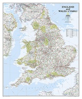 Wandkaart 20664 Engeland en Wales, 76 x 92 cm | National Geographic
This classic-style map of England and Wales shows political boundaries, major highways and roads, cities and towns, airports, and other geographic details. Thousands of place-names and exact borders are carefully …
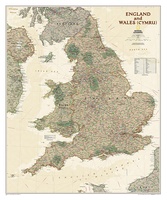 Wandkaart 20667 Engeland en Wales, antiek, 76 x 91 cm | National Geographic
This earth-toned, executive-style map of England and Wales shows political boundaries, major highways and roads, cities and towns, airports, and other geographic details. Thousands of place-names and exact borders are …
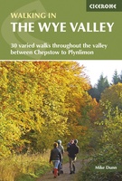 Wandelgids Walking in the Wye Valley | Cicerone
This guidebook includes 30 day walks in the stunning and varied lands of the Wye Valley. From its source on Plynlimon in the Welsh Cambrian mountains, down along the Wales-England …
Laatste reviews

Heb de gids cadeau gedaan en die persoon was er heel blij mee ..
★★★★★ door J 21 november 2024 | Heeft dit artikel gekocht
De kaart van Kirgystan is prachtig, zeer gedetailleerd. Kan niet wachten tot de we echt op reis hmgaan die kant op.
★★★★★ door Marijke Eering 21 november 2024 | Heeft dit artikel gekocht
Super handig fiets boekje en mooi water bestendig. En handig om op de kaarten te kijken heel duidelijk beschrijving. Wij fietsen al jaren in Duitsland …
★★★★★ door Jenneke holterman 19 november 2024 | Heeft dit artikel gekocht
prima kaart levering en betaling allemaal vlot verlopen
★★★★★ door Marc Buts 19 november 2024 | Heeft dit artikel gekocht

