Wales
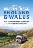 Campergids Off the Beaten Track: England and Wales | Bloomsbury
England and Wales might feel familiar to many, but there are countless hidden idylls and remote wildernesses to discover amongst the soaring passes, spectacular coastlines and boundless moorlands. For many, …
 Wegenkaart - landkaart Planning Map Wales | Lonely Planet
Durable and waterproof, with a handy slipcase and an easy-fold format, Lonely Planet's Wales Planning Map helps you get around with ease. Get more from your map and your …
★★★★★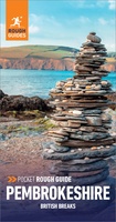 Reisgids British Breaks Pembrokeshire | Rough Guides
Discover the best of Pembrokeshire with this compact, practical, entertaining Pocket Rough Guide. This slim, trim treasure trove of trustworthy travel information is ideal for travellers on short trips, and …
 Reisgids Heritage Weekends | Bradt Travel Guides
History and heritage are among Britain’s greatest passions. Travel writers and historians Helen and Neil Matthews have selected 52 places that are wonderful examples of natural, architectural, industrial or cultural …
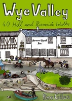 Wandelgids Wye Valley | Pocket Mountains
This guide contains forty circular routes, covering an area somewhat broader than the AONB but within similar north-south boundaries. This collection of walks is split into five areas: Hereford Lowlands …
 Wandelgids Wildlife Walks | Bloomsbury
The definitive guide to Britain's stunning wildlife heritage, showcasing more than 475 walks through the Wildlife Trust's forest, heaths, moors and woods. Published in conjunction with the Wildlife Trusts, …
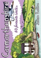 Wandelgids Carmarthenshire | Pocket Mountains
Handige compacte wandelgids met 40 dagwandelingen. Deze gids bevat kleine kaartjes en leuke uitgebreide informatie over wat er langs de route te zien is. Goede wandelkaarten zijn echter we noodzakelijk …
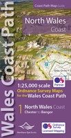 Wandelkaart North Wales Coast Path Map | Northern Eye Books
Enhanced, large scale (1: 25,000) Ordnance Survey mapping in a handy atlas format with all the mapping you need to walk a complete North Wales Coast section of the Wales …
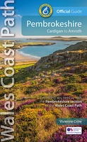 Wandelgids Wales Coast Path: Pembrokeshire | Northern Eye Books
Official Guide: Wales Coast Path: Pembrokeshire One of seven Official Guides to the Wales Coast Path The 186 mile/300km long Pembrokeshire section of the Wales Coast Path runs …
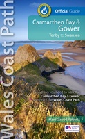 Wandelgids Wales Coast Path Carmarthen Bay & Gower | Northern Eye Books
Official Guide: Wales Coast Path: Carmarthen Bay & Gower One of seven Official Guides to the Wales Coast Path The Carmarthen Bay and Gower section of the Wales …
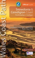 Wandelgids Wales Coast Path: Snowdonia and Ceredigion | Northern Eye Books
Official Guide: Wales Coast Path: Snowdonia & Ceredigion Coast One of seven Official Guides to the Wales Coast Path This Official Guide to the Snowdonia & Ceredigion Coast section of …
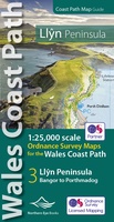 Wandelkaart Wales Coast Path Llyn Peninsula Map | Northern Eye Books
Enhanced, large scale (1: 25,000) Ordnance Survey mapping in a handy atlas format with all the mapping you need to walk a complete circuit of the Anglesey section of the …
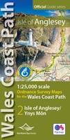 Wandelkaart Wales Coast Path: Isle of Anglesey | Northern Eye Books
Enhanced, large scale (1: 25,000) Ordnance Survey mapping in a handy atlas format with all the mapping you need to walk a complete circuit of the Anglesey section of the …
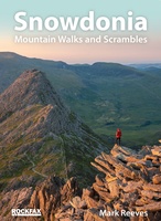 Wandelgids Snowdonia | Rockfax
This new book by Mark Reeves covers all the best mountain walks and scrambles in and around the Snowdonia area. The coverage is done in full Rockfax style with bigh …
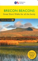 Wandelgids 031 Pathfinder Short Walks Brecon Beacons | Ordnance Survey
Wandelgids van een deel van Wales. Deze gids bevat 20 wandelingen, geschikt voor de hele familie. De bijbehorende kaarten zijn uitstekend: men heeft de topografische kaarten van Ordnance Survey gebruikt …
 Wandelkaart Anglesey Coastal Path | Harvey Maps
Een bijzonder handige kaart van dit lange-afstands-wandelpad. Op waterafstotend papier met veel details. Het enige dat je eigenlijk een beetje mist is een overzicht. Verder uitstekend en voldoende voor de …
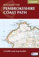 Wandelgids Walking the Pembrokeshire Coast Path map booklet | Cicerone
A booklet of all the mapping needed to walk the Pembrokeshire Coast Path National Trail between Amroth near Tenby and St Dogmaels by Cardigan. Covering 290km (180 miles) and over …
 Accommodatiegids - Wandelgids The Book of the Bothy | Cicerone
A celebration of 26 of the author's favourite bothies, as she shares her memories of her favourite 'stone tents' all over the UK in remote and wild locations. Packed with …
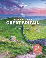 Wandelgids Best Day Walks Great Britain - Groot Brtittanië | Lonely Planet
Lonely Planet heeft een nieuwe serie uitgebracht: Best Day Walks in verschillende landen. Het zijn de - door Lonely Planet uitgekozen - mooiste wandelingen verspreid over het land. Goed beschreven, …
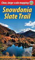 Wandelgids Snowdonia Slate Trail | Rucksack Readers
The Snowdonia Slate Trail is a waymarked trail that runs for 83 miles from Bangor on the North Wales coast, making a circuit through the heart of Snowdonia to end …
Laatste reviews

Heb de gids cadeau gedaan en die persoon was er heel blij mee ..
★★★★★ door J 21 november 2024 | Heeft dit artikel gekocht
De kaart van Kirgystan is prachtig, zeer gedetailleerd. Kan niet wachten tot de we echt op reis hmgaan die kant op.
★★★★★ door Marijke Eering 21 november 2024 | Heeft dit artikel gekocht
Super handig fiets boekje en mooi water bestendig. En handig om op de kaarten te kijken heel duidelijk beschrijving. Wij fietsen al jaren in Duitsland …
★★★★★ door Jenneke holterman 19 november 2024 | Heeft dit artikel gekocht
prima kaart levering en betaling allemaal vlot verlopen
★★★★★ door Marc Buts 19 november 2024 | Heeft dit artikel gekocht

